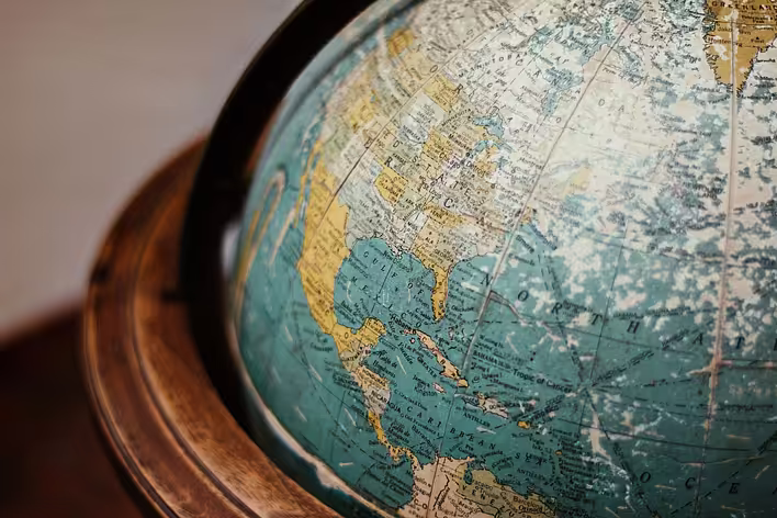
Geographic coordinates are a system that allows you to determine the position of points on the Earth's surface using numbers. They consist of two main components: latitude and longitude. Latitude indicates how far a point is located north or south of the equator, while longitude indicates how far east or west it is from the prime meridian, which runs through Greenwich in the United Kingdom.
How does the coordinate system work?
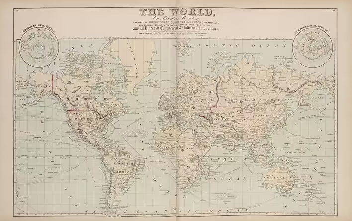
The geographic coordinate system operates on the principle of a grid that covers the entire surface of the Earth. Here’s how it looks:
-
Latitude:
- Measured in degrees from 0° to 90° north or south of the equator.
- For example, Kyiv has a latitude of approximately 50° N (north latitude).
-
Longitude:
- Measured in degrees from 0° to 180° east or west of the prime meridian.
- For example, the longitude of Kyiv is approximately 30° E (east longitude).
Why is it important?
Geographic coordinates are the foundation for navigation and cartography. Without them, we could not accurately determine our location or create maps. Here are a few areas where they are crucial:
- Navigation: Pilots and ship captains use coordinates to plan routes.
- Maps: Every map has a coordinate grid that helps find specific locations.
- Tourism: Visitors to new places can quickly find tourist attractions using coordinates.
How to use geographic coordinates?
Here are a few simple steps to help you use geographic coordinates in everyday life:
- Use GPS devices: Most smartphones have a built-in GPS system that automatically determines your coordinates.
- Online maps: Services like Google Maps allow you to enter coordinates to find a specific place.
- Travel: When planning a trip, you can determine the coordinates of important locations in advance to avoid getting lost.
Interesting facts
- The equator is an imaginary line that divides the Earth into two hemispheres: northern and southern.
- The prime meridian, also known as the Greenwich meridian, is the starting point for measuring longitude.
- Antarctica is the only continent where all lines of longitude converge at one point — the South Pole.
Geographic coordinates are not just dry numbers, but a key to understanding our world. They help us navigate, explore new horizons, and simply not get lost in this vast world. So the next time you see numbers on a map or GPS device, remember: these are your faithful friends in travel and exploration.