Have you ever wondered how our ancestors navigated the vast expanses of the Earth without GPS navigators? The answer lies in simple yet brilliant concepts such as geographic latitude. Let’s explore what geographic latitude is and why it is so important for us today.
What is geographic latitude?
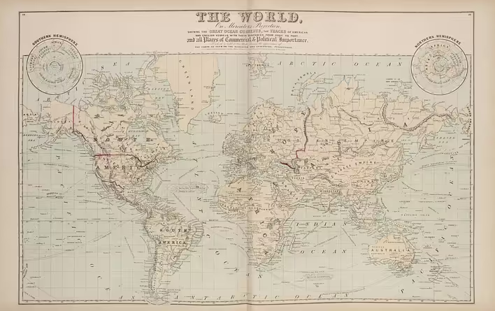
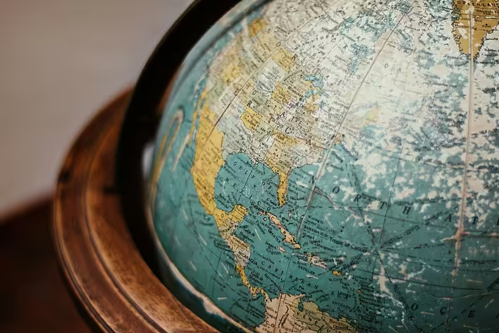
Geographic latitude is one of the two main coordinates that help determine the location of an object on Earth. If you have ever seen a globe or a map with a grid of lines, you may have noticed the horizontal lines — these are the lines of latitude. They help to understand how far north or south a point is from the equator.
How is geographic latitude measured?
Latitude is measured using angles. It is measured in degrees (°), minutes (‘), and seconds (“). The geographic latitude of the equator is 0°, and points located on the equator have this latitude. From the equator to the poles, geographic latitude changes from 0° to 90°. This means that geographic latitude can range from 0° to 90° north or south.
Geographic latitude can vary
Geographic latitude can be northern or southern depending on the direction from the equator. For example:
- Northern latitude: from 0° to 90° N (for example, Kyiv is approximately 50° N)
- Southern latitude: from 0° to 90° S (for example, Buenos Aires is approximately 34° S)
How does geographic latitude change?
Changes in geographic latitude can be observed during travels from north to south or vice versa. The closer you are to the poles, the higher your geographic latitude. Interestingly, geographic latitude has the highest value at the poles — that is 90°.
In what units is latitude measured?
As mentioned, geographic latitude is measured in degrees, minutes, and seconds. One degree consists of 60 minutes, and one minute consists of 60 seconds. Such detailed measurement allows for precise determination of the location of any point on the planet.
Why is geographic latitude important?
Geographic latitude plays an important role in our lives:
- Climate: Latitude affects the climatic conditions of a region. For example, the closer to the equator, the warmer it is.
- Navigation: It serves as the basis for maritime and aviation navigation.
- Astronomy: Latitude is used to determine the position of celestial bodies.
So now you know what geographic latitude is and why it is so important to us. It’s not just numbers on a map; it’s the key to understanding our world and its complexity. The next time you plan a trip or simply look at a globe, remember this simple yet brilliant invention of humanity. It helps us understand our place in the world and makes it a little smaller and more accessible for each of us.